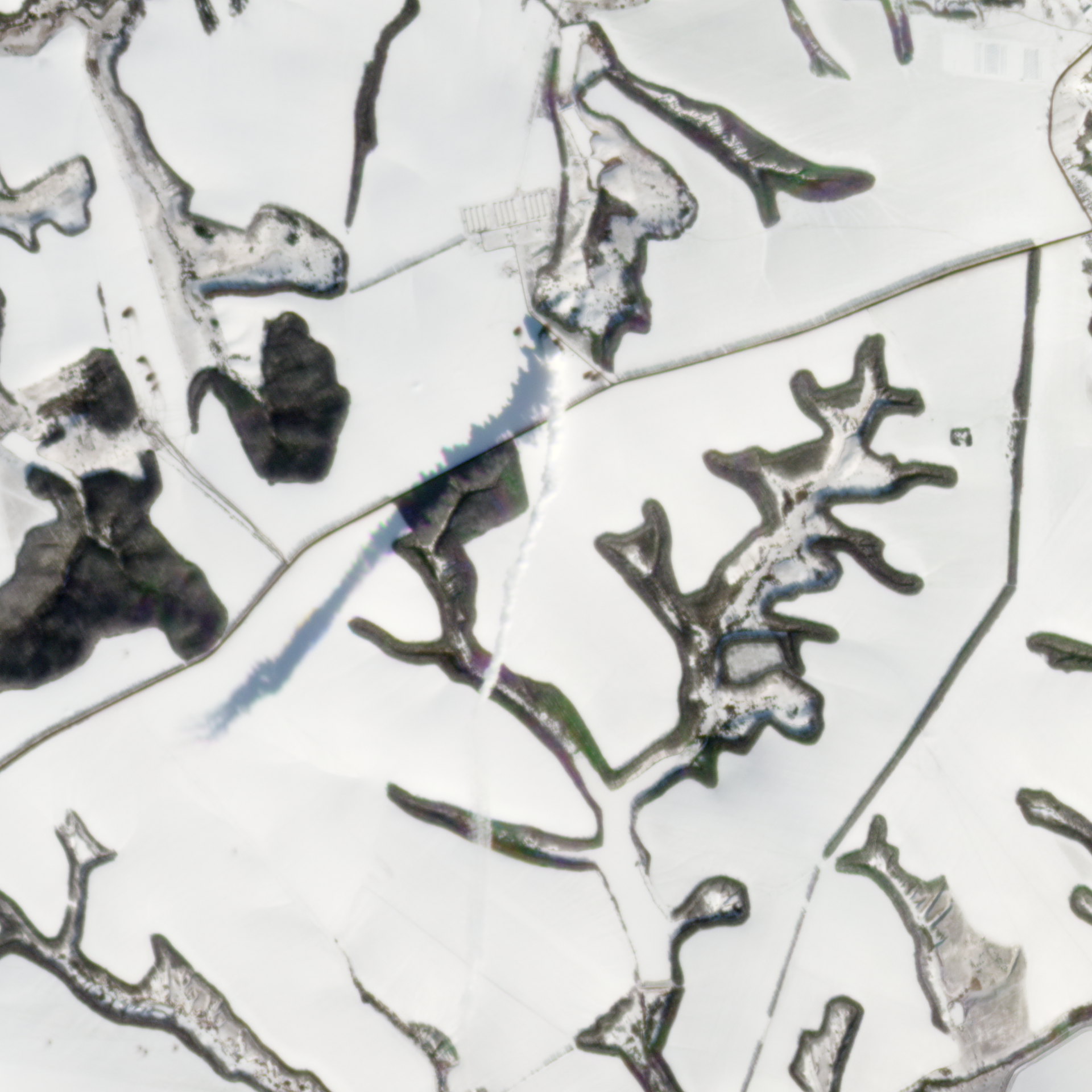
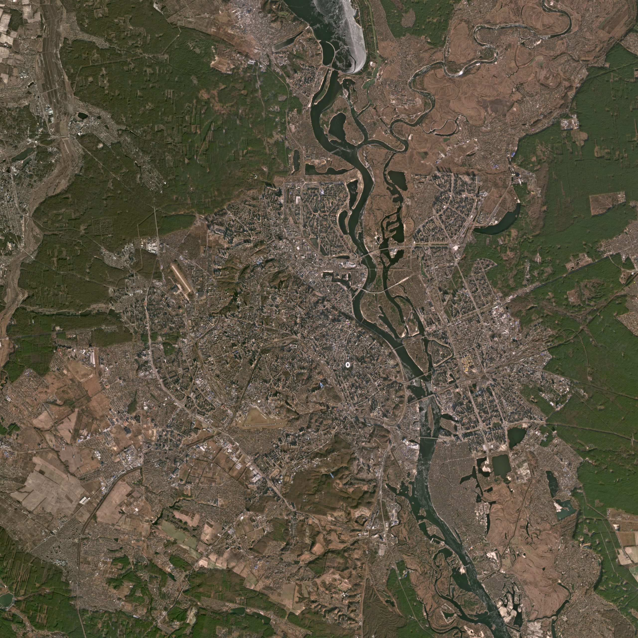
Satellite imagery released by Planet Labs PBC via Atlantic Council’s Digital Forensic Research Lab showed plumes of smoke in Ukraine’s second largest city, Kharkiv after Russia launched a rocket from Belgorod Oblast on February 27.
Satellite images captured by the American public Earth imaging company displayed the indiscriminate Russian shelling on .
The Atlantic Council’s Digital Forensic Research Lab (DFRLab) is mapping out areas of Kharkiv city that were hit by artillery.
Russian forces launched an attack on Ukraine last week after negotiations with the western powers and the United States over what Russian called “security concerns” failed.
Russian troops have attacked several cities of Ukraine. Eleven people were killed, more than 30 injured, and 87 houses were damaged by heavy artillery in the city of Kharkiv alone.
Russian Foreign Minister said Moscow was ready for second round of talks with the Ukrainians to end the fighting but will not stop targeting the embattled country’s military infrastructure.
Ukraine’s armed forces claim Russia had lost approximately 9,000 soldiers in in the country since the war began on February 24.


