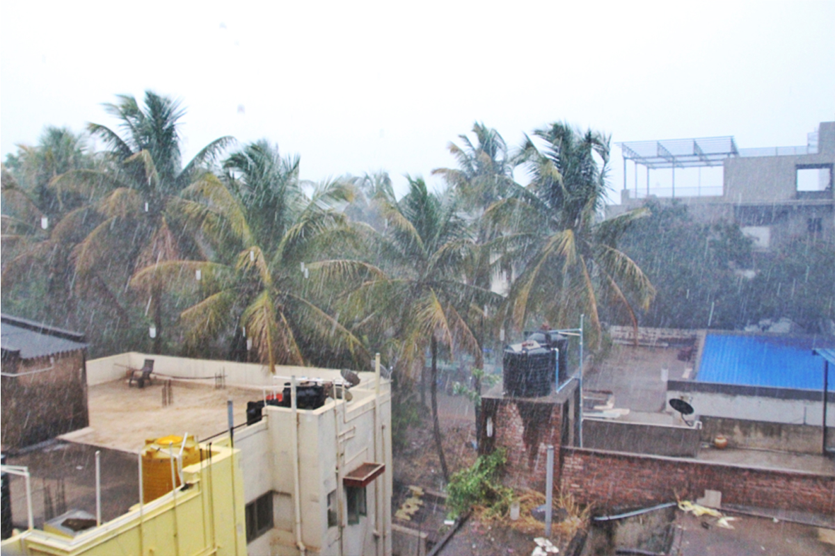
NEW DELHI: Coast Guard is on high alert as the year’s first cyclonic storm, Mocha, intensifies into a very severe cyclonic storm.
The National Disaster Response Force (NDRF) deployed eight teams with over 200 rescuers in West Bengal.
India Meteorological Department issued rainfall warnings to Andaman and Nicobar, Tripura, Mizoram, Nagaland, Manipur and South Assam till May 14.
“The Very Severe Cyclonic Storm Mocha over Central and adjoining Southeast Bay of Bengal moved nearly northwards with a speed of 13 kmph during the past six hours and lay centred at 0830 hours IST of today, May 12, 2023, over the same region near latitude 13.6°N and longitude 88.2°E, about 530 km west-northwest of Port Blair, 950 km south-southwest of Cox’s Bazar (Bangladesh) and 870 km south-southwest of Sittwe (Myanmar),” IMD observes.
It is likely to cross the southeast Bangladesh and north Myanmar coasts between Cox’s Bazar (Bangladesh) and Kyaukpyu (Myanmar), close to Sittwe (Myanmar), around noon on May 14, 2023, as a Very Severe Cyclonic Storm with a maximum sustained wind speed of 150-160 kmph gusting to 175 kmph, adds IMD.
The wind warning has been provided in Andaman and Nicobar, Tripura, Mizoram and South Manipur.
Other than these states, in the south east Bay of Bengal, gale wind speeds reaching 115-125 kmph gusting to 135 kmph are prevailing and likely to continue until the evening and decrease thereafter, becoming squally wind speeds reaching 55–65 kmph gusting to 75 kmph on May 13.
In the adjoining areas of the southwest Bay of Bengal, squally wind speeds reaching 50-60 kmph gusting to 70 kmph is likely to prevail during the next 24 hours and decrease thereafter.
In the east-central Bay of Bengal, gale wind speed reaching 115-125 kmph and gusting to 135 kmph are prevailing over the region. It is likely to increase, becoming gale wind speed, reaching 140-150 kmph gusting to 165 kmph from May 12 evening, increase further, becoming 150-160 kmph gusting to 175 kmph by May 14 morning and gradually decrease thereafter.
In the west-central Bay of Bengal, gale wind speed reaching 115-125 kmph and gusting to 135 kmph are likely to prevail over the southeastern sector of the region during the next 24 hours. It will gradually decrease, becoming 90-100 kmph gusting to 110 kmph by May 13 evening and significantly decreasing thereafter.
In the northeast Bay of Bengal, squally wind speeds reaching 55-65 kmph gusting to 75 kmph are likely from the forenoon of May 12 and becoming 70–80 kmph gusting to 90 kmph from the May 12 evening. Gale wind speeds reaching 90-100 kmph gusting to 110 kmph are likely to commence on May 12, morning and gradually increase to 150–160 kmph gusting to 175 kmph from May 13 evening till May 14 noon. It is likely to decrease rapidly after the landfall.
In adjoining areas of the northwest Bay of Bengal, the gale wind speed reaching 60-70 kmph gusting to 80 kmph is likely to prevail from May 13 to May 14 forenoon and decrease gradually thereafter.
Fishermen, ships, boats and trawlers are advised not to venture into the southeast Bay of Bengal till May 12, the central Bay of Bengal and the north Andaman Sea till May 14 and into the northeast Bay of Bengal from May 12 to 14.
Those over the central Bay of Bengal and north Andaman Sea are advised to return to the coast.
In Mizoram, Tripura, and South Manipur damage is expected from some breaches in kutcha roads due to heavy rain, with the possibility of landslides, in vulnerable areas.
IMD also predicted damage to standing crops and to small trees like bananas, drum sticks, papaya, etc.


